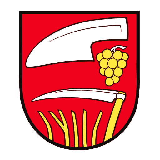

Features Červený Hrádok
The village of Červený Hrádok is located in the West Slovak region, 11 km south of Zlaté Moravice and 25 km east of Nitra.
(Zlaté Moravce is located at 48° 23 north latitude and 18° and 24 east longitude, for the sake of interest, it is approximately 5,370 km from the equator and 4,630 km from the North Pole).
The village is located in one of the northernmost outcrops of the Danube Plain as part of Horné Požitavia.
To the west of the Žitava River lies the Žitav Loess Upland, to the east of Žitava the Pohronská Loess Upland, in which the village of Červený Hrádok is located in the hilly terrain near the Širočina stream valley.
The eastern range of the village reaches 170-220 m, the center of the village lies at an altitude of 183 m.
Secure & Private
Your data is protected with industry-leading security protocols.
24/7 Support
Our dedicated support team is always ready to help you.
Personalization
Customize the app to match your preferences and workflow.
See the Červený Hrádok in Action
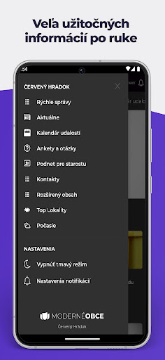

Get the App Today
Available for Android 8.0 and above